skip to navigation
|
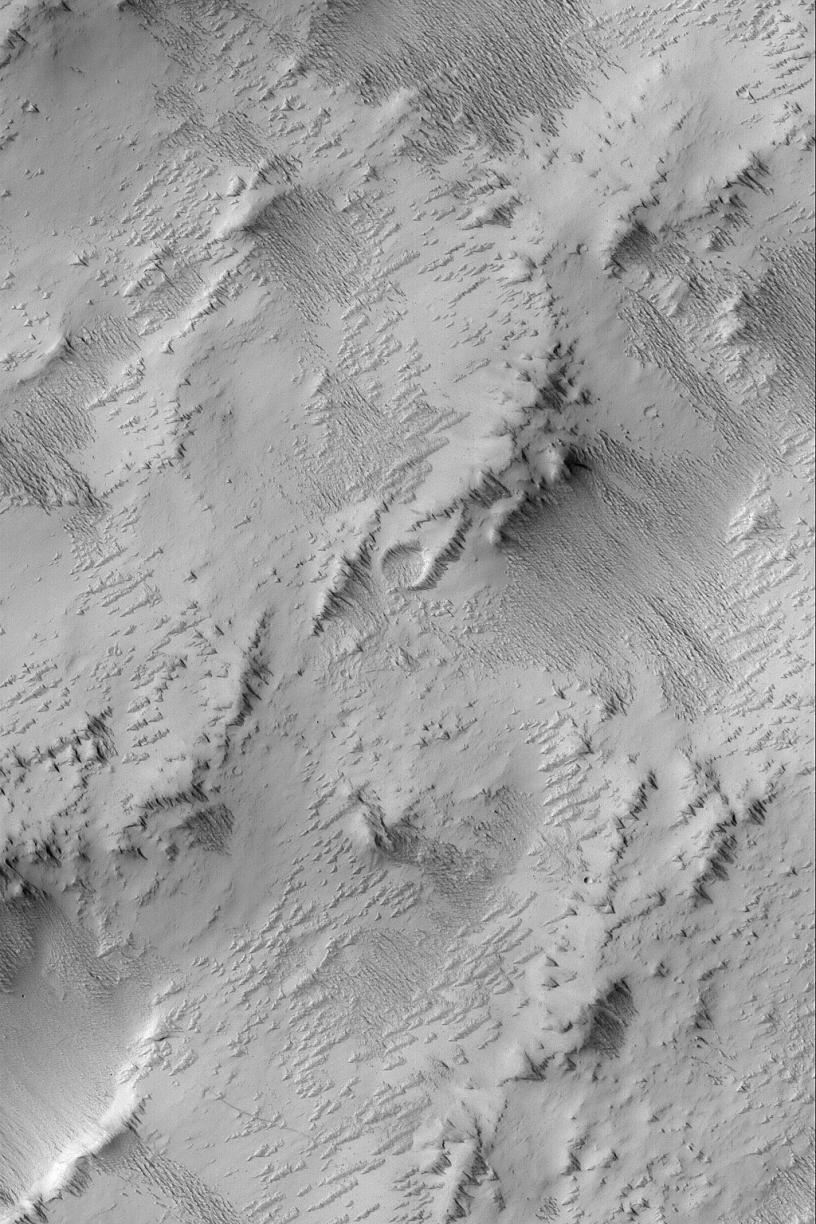
Exposing Memnonia Terrain
- Click the image above for a larger view
- Full-Res JPEG (1024 x 1536) (369.9 kB)
- Full-Res TIFF (1024 x 1536) (1.6 MB)
Caption:
21 June 2004
This Mars Global Surveyor (MGS) Mars Orbiter Camera (MOC) image shows the results of a process that is underway in the Memnonia uplands near 12.9°S, 152.7°W, to strip away one layer of material and reveal a formerly-buried landscape from beneath. All of the area shown here was once covered by a material that has been eroded by wind to form the sharp-crested, nearly-parallel ridges that run diagonally from the upper left toward lower right in this image. These ridges are a classic wind erosion form, known as a
yardang
. The image covers an area about 3 km (1.9 mi) wide and is illuminated by sunlight from the left/upper left.
Cataloging Keywords:
| Name | Value | Additional Values |
|---|---|---|
| Target | Mars | |
| System | ||
| Target Type | Planet | |
| Mission | Mars Global Surveyor (MGS) | |
| Instrument Host | Mars Global Surveyor | |
| Host Type | Orbiter | |
| Instrument | Mars Orbiter Camera (MOC) | |
| Detector | ||
| Extra Keywords | Grayscale | |
| Acquisition Date | ||
| Release Date | 2004-06-21 | |
| Date in Caption | 2004-06-21 | |
| Image Credit | NASA/JPL/Malin Space Science Systems | |
| Source | photojournal.jpl.nasa.gov/catalog/PIA06325 | |
| Identifier | PIA06325 | |