Isidis Planitia
Caption:
24 December 2003
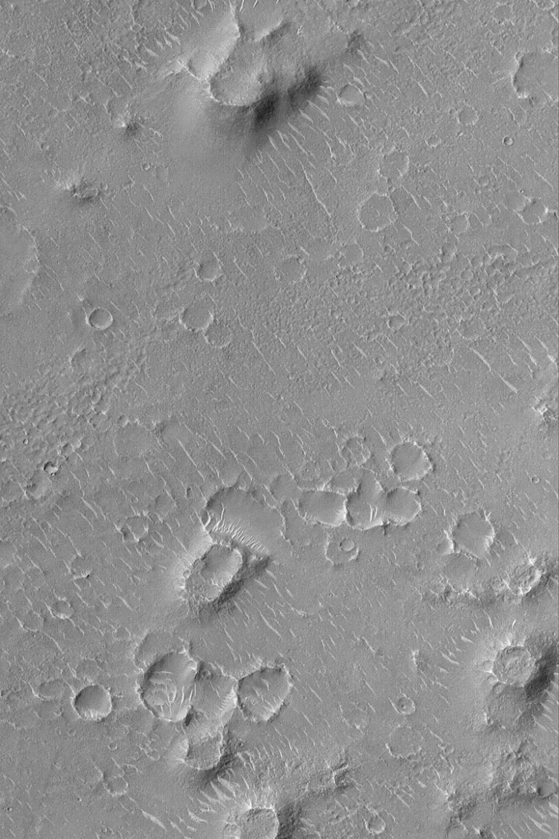
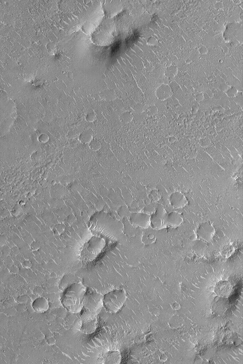
This Mars Global Surveyor (MGS) Mars Orbiter Camera (MOC) image shows a small portion of the vast Isidis Planitia, the region in which the
Beagle 2
is scheduled to land on 25 December 2003 (GMT; it will be the evening of 24 December 2003 in the U.S.). Much of Isidis Planitia has low hills and mounds like those shown here. Many of these are remnants of a layer (or group of sub-resolution layers) that once more extensively covered Isidis Planitia, but was later stripped away, revealing previously-buried meteor impact craters. The light-toned ridges and somewhat squiggly features are windblown dunes. This picture is located around 10.7°N, 268.6°W, which is in the vicinity of the projected Beagle 2 landing zone. The picture covers an area 3 km (1.9 mi) wide. Sunlight illuminates the scene from the left/lower left.
Cataloging Keywords:
| Name |
Value |
Additional Values |
| Target |
Mars |
|
| System |
|
|
| Target Type |
Planet |
|
| Mission |
Mars Global Surveyor (MGS) |
Mars Express, Mars Express (MEX) |
| Instrument Host |
Mars Global Surveyor |
Mars Express Lander |
| Host Type |
Orbiter |
Lander |
| Instrument |
Mars Orbiter Camera (MOC) |
|
| Detector |
|
|
| Extra Keywords |
Crater, Dune, Grayscale, Impact |
| Acquisition Date |
|
| Release Date |
2004-01-08 |
| Date in Caption |
2003-12-24 |
2003-12-25 |
| Image Credit |
NASA/JPL/Malin Space Science Systems |
| Source |
photojournal.jpl.nasa.gov/catalog/PIA05019 |
| Identifier |
PIA05019 |